Maps
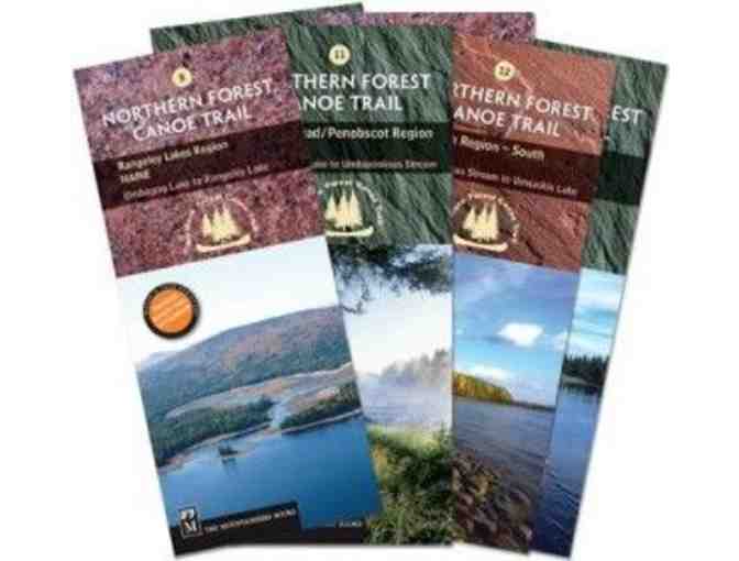
NFCT Map Set-Maine
- Item Number
- 106
- Estimated Value
- 78 USD
- Leading Bid
- 26 USD
- Next Minimum Bid
- USD
- Time Left
- 6d 18h
- Online Close
- 2024-12-01 23:59:00.0
- Number of Bids
- 1 - Bid History
Item Description
As the Trail wends its way northeast through Maine’s western mountain region, toward the Allagash, and into the St. John River Valley, it traverses some truly stunning country. Mountains and ponds, rivers and streams, and a healthy dose of wildlife. Plan your trips on half of the Northern Forest Canoe Trail with these six first-edition sectional maps covering the NFCT in the state of Maine.
Map set includes:
Map 8: RANGELEY LAKES REGION MAINE Umbagog Lake to Rangeley Lake
Map 9: FLAGSTAFF REGION MAINE Rangeley Lake to Spencer Stream
Map 10: GREATER JACKMAN REGION MAINE Spencer Stream to Moosehead Lake
Map 11: MOOSEHEAD/PENOBSCOT REGION MAINE Moosehead Lake to Umbazooksus Stream
Map 12: ALLAGASH REGION (South) MAINE Umbazooksus Stream to Umsaskis Lake
Map 13: ALLAGASH REGION (North) MAINE Umsaskis Lake to St. John River
Item Special Note
Shipping: Maps ship directly from NFCT office.
Northern Forest Canoe Trail stores data...
Your support matters, so Northern Forest Canoe Trail would like to use your information to keep in touch about things that may matter to you. If you choose to hear from Northern Forest Canoe Trail, we may contact you in the future about our ongoing efforts.
Your privacy is important to us, so Northern Forest Canoe Trail will keep your personal data secure and Northern Forest Canoe Trail will not use it for marketing communications which you have not agreed to receive. At any time, you may withdraw consent by emailing Privacy@frontstream.com or by contacting our Privacy Officer. Please see our Privacy Policy found here PrivacyPolicy.


