Home & Decor
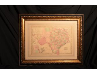
Map of Texas
- Item Number
- 359
- Estimated Value
- 1650 USD
- Sold
- 500 USD to MayMay
- Number of Bids
- 3 - Bid History
Item Description
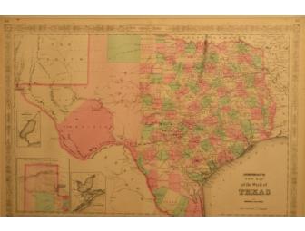
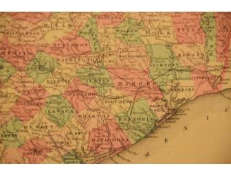
An exceptional example of A.J. Johnson's highly desirable map of Texas. Created shortly after the American Civil War, this extraordinary folio map details the state of Texas in full. Johnson identifies various cities, towns, rivers, and assortment of additional topographical details. Published by A.J. Johnson and Ward as plate numbers 46 and 47 in the 1866 edition of Johnson's New Illustrated Family Atlas. This is the final edition of Johnson's Atlas to bear the "Johnson and Ward" imprint. Professionally framed.
Measures approximately 36"x42"/
Donated By:
Curtis E. King
The Awty International School stores data...
Your support matters, so The Awty International School would like to use your information to keep in touch about things that may matter to you. If you choose to hear from The Awty International School, we may contact you in the future about our ongoing efforts.
Your privacy is important to us, so The Awty International School will keep your personal data secure and The Awty International School will not use it for marketing communications which you have not agreed to receive. At any time, you may withdraw consent by emailing Privacy@frontstream.com or by contacting our Privacy Officer. Please see our Privacy Policy found here PrivacyPolicy.


